Luchtfoto Berlijn
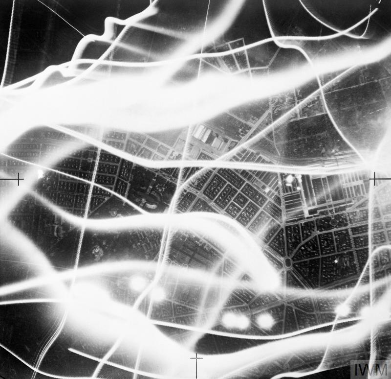
Zo op het eerste gezicht lijkt het een foto te zijn van een modern abstract kunstwerk, de werkelijkheid is echter anders. De foto is in de nacht van 2 op 3 september 1941 boven Berlijn gemaakt, tijdens een luchtaanval van de Royal Air Force, de Britse luchtmacht.
|
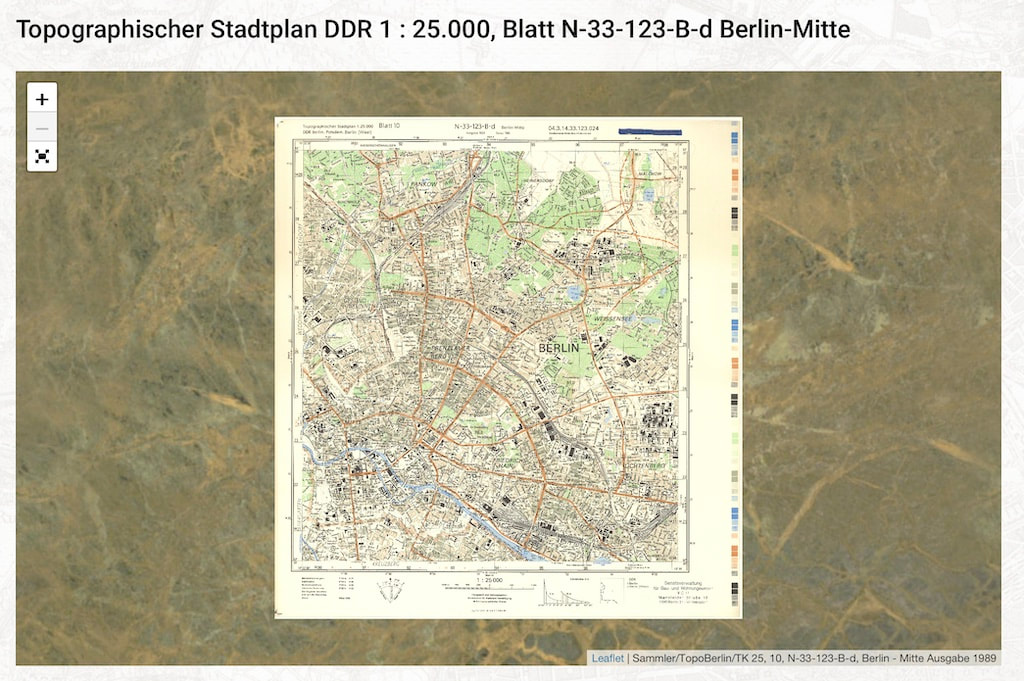
Op de website Berliner-Stadtplansammlung.de vind je een serie topografische kaarten van de stad in de jaren tussen 1939 en 1945 en de daarop volgende jaren, toen de stad onder bestuur van de Geallieerden was geplaatst. Ook zijn er kaarten uit de beginperiode van de DDR, de Duitse Democratische Republiek. Deze kaarten zijn zeer geschikt om het hiernaast gefotografeerde stadsdeel te lokaliseren.
|
Berlijn onder vuur. Foto: IWM C 2056.
Bijschrift van deze foto in de IWM fotocollectie:
Vertical night aerial photograph taken during a raid on Berlin, showing bombs exploding in the vicinity of the central cattle-market and railway yard (middle right), east of the city centre. The broad wavy lines are the tracks of German searchlights and anti-aircraft fire can also be seen. Also illuminated by the flash-bomb in the lower half of the photograph are the Friedrichshain gardens and sports stadium, St Georgs Kirchhof and Balten Platz. A mixed force of 49 aircraft took part in the raid, of which 5 were lost.
|
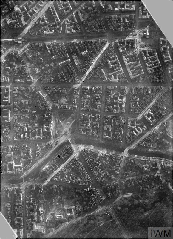
Hiernaast: Luchtfoto van Berlijn, gemaakt op 3 augustus 1944. Foto: 540 Squadron,RAF. Bron IWM C4191. Het bijschrift van deze foto in de IWM fotocollectie is als volgt:
Part of a vertical photographic-reconnaissance aerial taken over Berlin, Germany showing an area immediately south of the Tiergarten (bottom) and east of the Zoological Gardens. Lutzow Platz is at left centre, surrounded by a considerable area of buildings gutted by incendiary fires resulting from repeated raids by Bomber Command aircraft.
|


